Three steps to visualize Big Data on maps without knowledge in coding
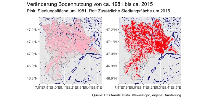
Imagine you want to analyze the information concerning land use. More precise you want to know how the land usage changed in the last few decades in your area. Thanks to the Federal Statistical Office that is not a problem at all. They provide a data set (Arealstatistik: Nomenklatur 2004) …
